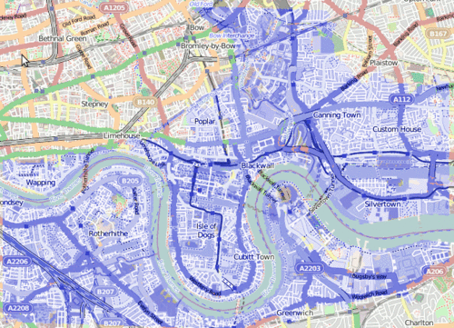
Hacked together image-map of what would happen to (east) London should the flood defences fail – the blue bit would get a little wet 😉
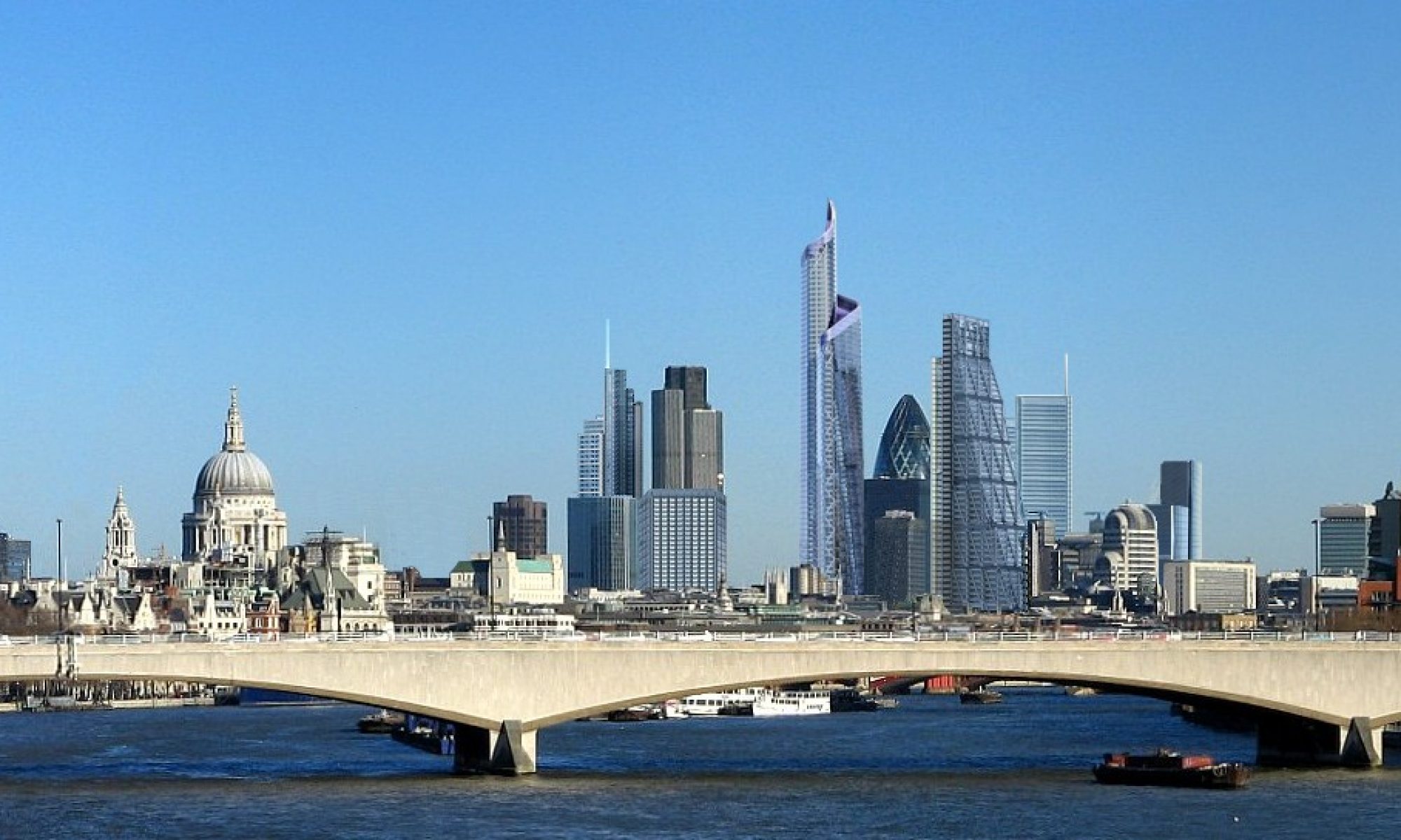
Obviously the flood damage would extend significantly west, but that information isn’t shown in the article
I liked the satellite image showing the flooding, but couldn’t really get my bearings – so mashed it with some openstreetmap.org love for the map data
The barrier, built in 1982 on the Thames on the eastern side of the capital at Woolwich, was designed to protect 48 sq miles (125 sq km) of central London from flooding caused by tidal surges.
At the moment, with so much rainfall travelling down the Thames, there is a danger during high tide that the extra water will be pushed back up river by the sea and cause flooding in the capital and to the west.
To prevent this, the barrier has been used at record levels, says Eamonn Forde, one of its controllers. It has closed 28 times since 6 December. This represents one fifth of all the closures – about 150 – since it was inaugurated.
See the original BBC article ..
There’s a nice simple explanation of what the Thames Flood Barrier does and how it works